


Estimated reading time: 13 minutes Drone inspection in Saudi Arabia’s energy sector is no longer an emerging trend — it is an…

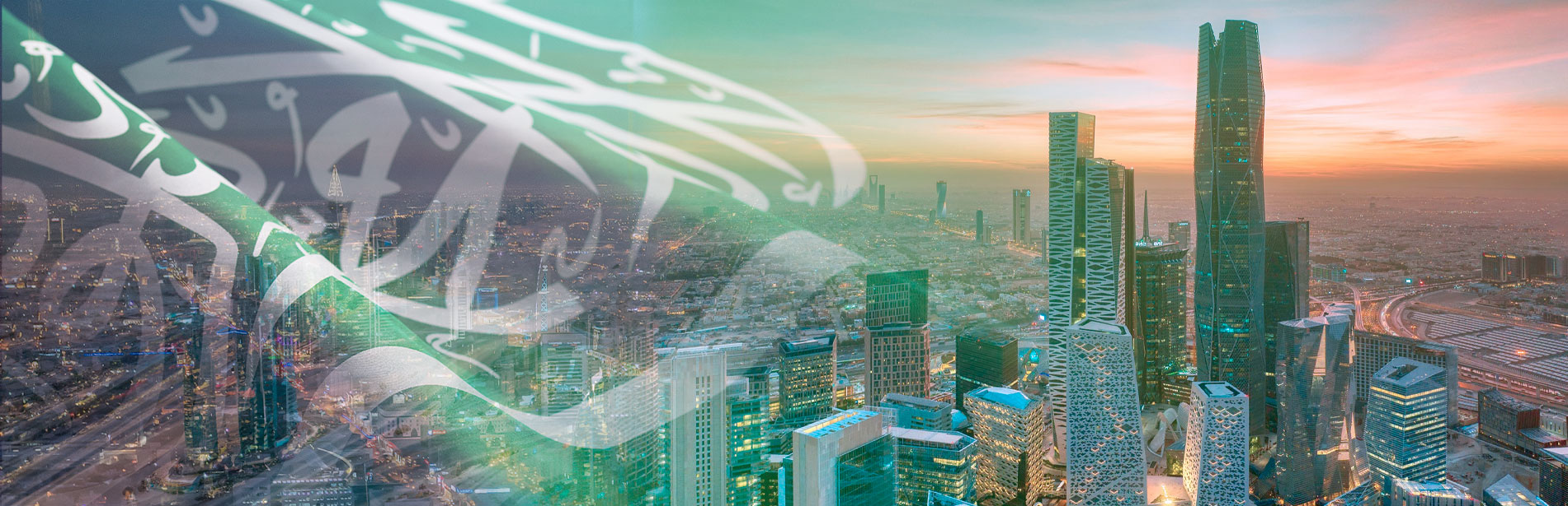
NineTenths
The official distributor of DJI Enterprise in KSA
and the right partner for Drone based solutions in Saudi Arabia


Company Profile
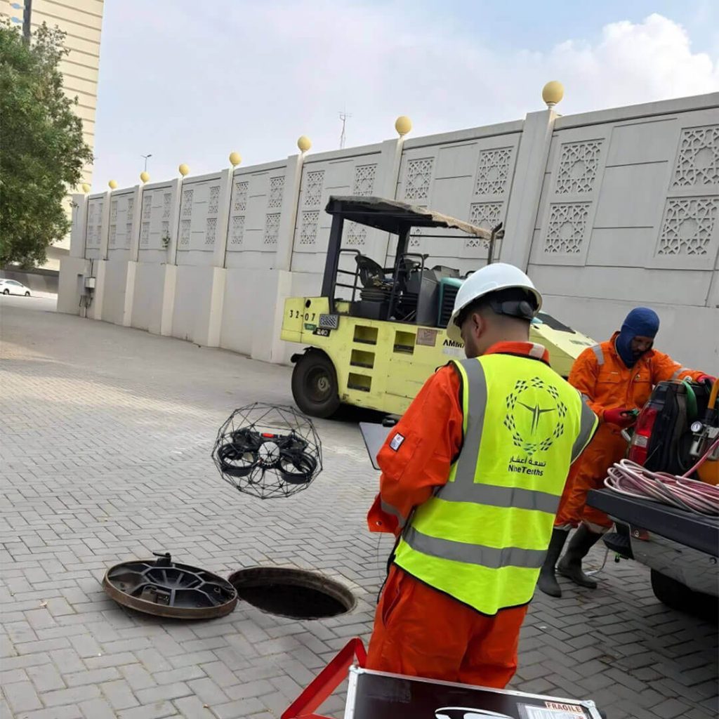
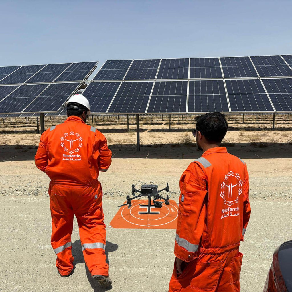
NineTenths is a leading drone solutions provider in Saudi Arabia, delivering advanced UAV services for aerial inspection, surveying, and mapping. Using LiDAR, AI-powered analytics, and high-resolution imaging, we help organizations improve operational efficiency, reduce costs, and make accurate data-driven decisions across industrial sectors.
Our Products
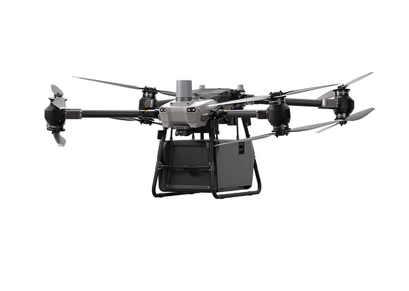
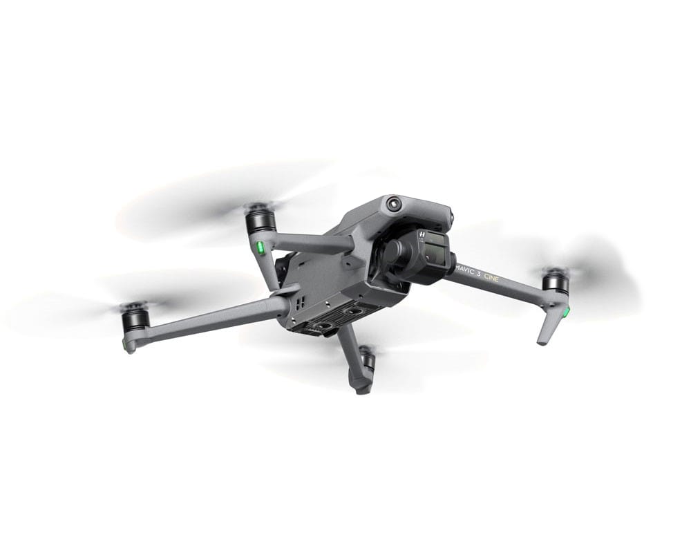
Drones
Drones
Enterprise drone platforms designed for inspection, surveying, mapping, monitoring, and public safety operations across Saudi Arabia.
Payloads
Payloads
Specialized payloads including thermal imaging, LiDAR, multispectral, and optical sensors that enable precise data acquisition for enterprise drone operations.
ROV
ROV
ROV solutions for underwater inspection, marine monitoring, offshore operations, and subsea asset assessment, delivering reliable data in complex underwater environments.
Our Services
Drones Services
Drone Services
Aerial inspection, surveying, mapping, and monitoring solutions for industrial and infrastructure projects.
ROV Services
ROV Services
Underwater inspection and marine survey services for offshore, port, and infrastructure operations.
Training Services
Training Services
Hands-on drone training programs focused on safe, efficient, and compliant operations.
Maintenance Services
Maintenance Services
Maintenance and support services to keep your drone fleet operating at peak performance.
Request a Demo
Request a Demo
If you are unsure which drone you want
and can’t make the right decision
book a demo see the drone and make your decision!
If you are unsure which drone you want
and can’t make the right decision
book a demo see the drone and make your decision!
Case Studies
Results we deliver
Latest Articles
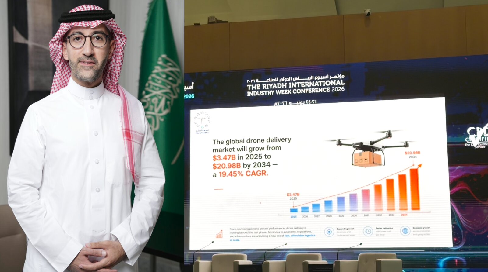
NineTenths at The Riyadh International Industry Week 2026: Drones Reshaping the Future of Delivery in Saudi Arabia
Estimated reading time: 6 minutes Saudi Arabia’s leading daily Alriyadh Newspaper covered statements by Eng. Naif Al-Zahrani, Acting CEO of NineTenths…
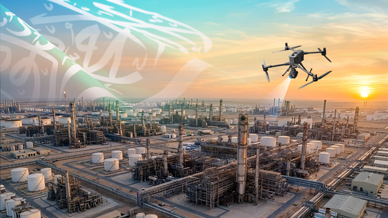
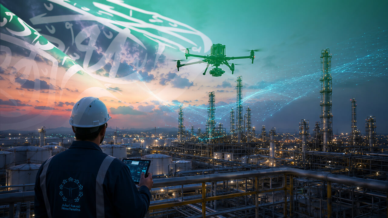
How UAV Inspection is Transforming Industrial Infrastructure in Saudi Arabia
Estimated reading time: 9 minutes Saudi Arabia’s industrial landscape is evolving at an unprecedented pace. From sprawling oil & gas facilities…
Frequently Asked Questions About NineTenths Drone Services in Saudi Arabia
What drone services does NineTenths provide in Saudi Arabia?
NineTenths provides drone services including aerial inspection, surveying, mapping, monitoring, and data analysis using advanced UAV, LiDAR, and AI technologies.
Are your drone pilots certified in Saudi Arabia (GACA)?
Yes. All NineTenths drone pilots are certified in accordance with General Authority of Civil Aviation (GACA) regulations and undergo continuous training to ensure safe, compliant, and high-quality UAV operations.
Do you provide end-to-end drone solutions in Saudi Arabia?
Yes. NineTenths offers complete UAV solutions, including drone hardware, flight operations, data processing, analytics, and professional training tailored for industrial and enterprise applications.
How accurate is drone data for surveying and inspection?
Drone data can achieve high accuracy depending on the project, especially when using RTK positioning, LiDAR sensors, and advanced photogrammetry workflows for mapping and inspection tasks.
Can drone data integrate with enterprise systems?
Yes. NineTenths drone data can be integrated with enterprise platforms such as GIS systems, asset management software, and inspection tools to enable efficient workflows and data-driven decision-making.
Our Clients


Our Partners
