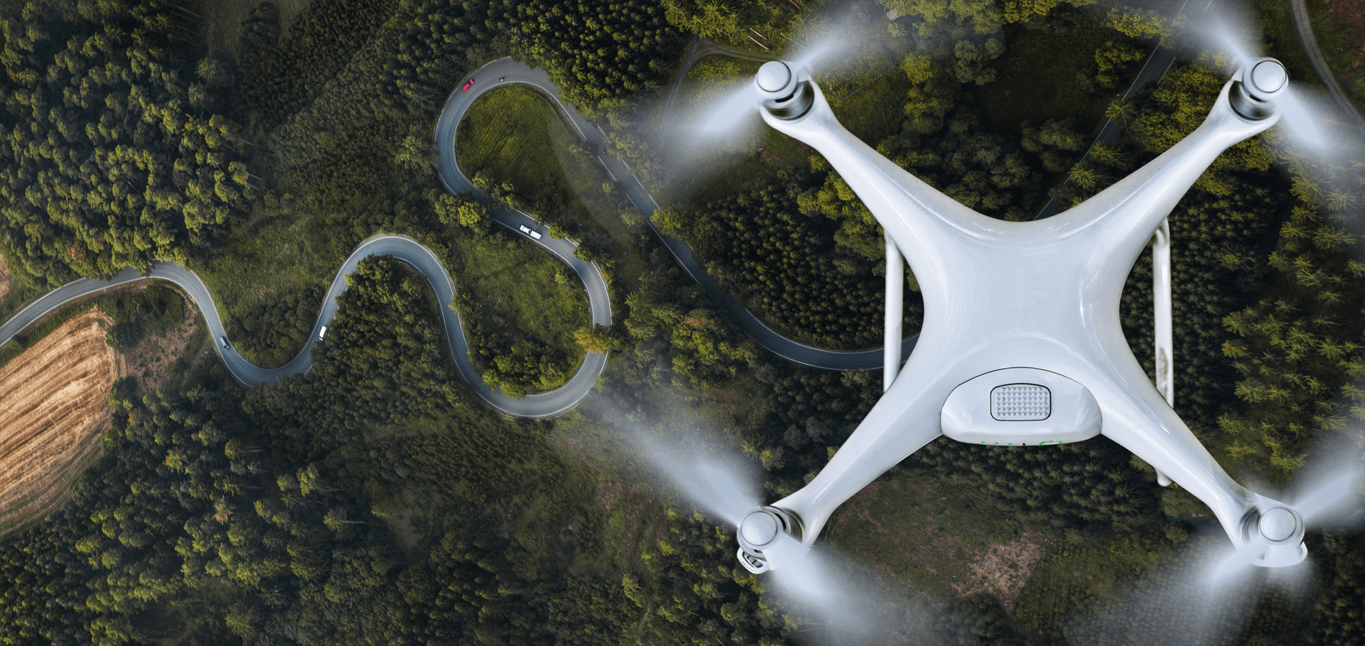
Aerial Surveying & Mapping

NineTenths delivers high-precision aerial drone surveying and mapping services across Saudi Arabia, providing 3D data, DEMs, DTMs, and terrain models for mining, infrastructure, agriculture, and urban planning projects.
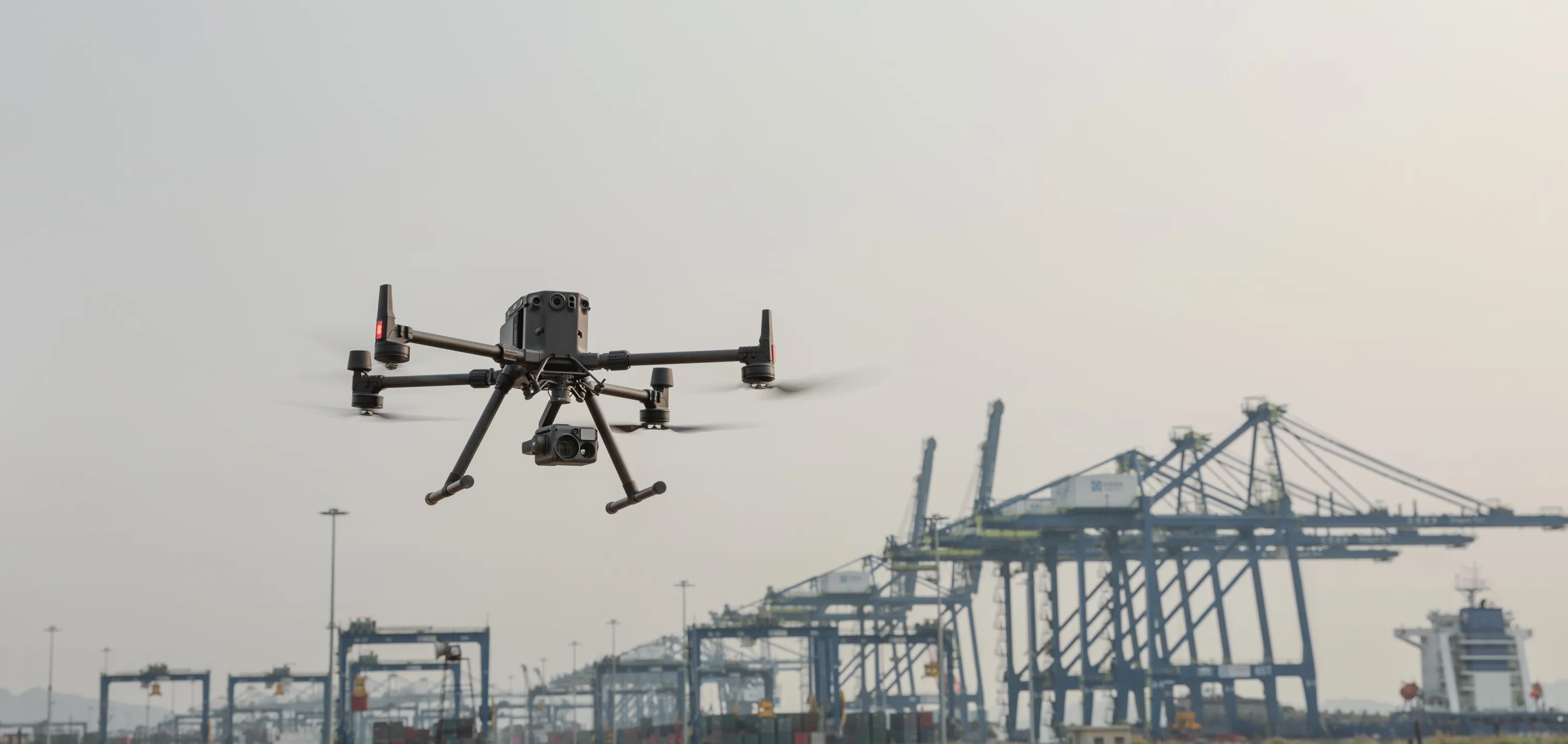
NineTenths works to offer precise aerial drone surveying and mapping services. Our knowledge is unmatched since we have worked with both the public and private sectors on projects such as land surveying, aerial surveying for land management and development, monitoring of land slope, measuring stockpile volumetric, smart cities design, etc. In order to consistently provide topographic maps with centimeter-level accuracy, NineTenths place a strong priority on quality. Our clients receive the deliverables more quickly thanks to the use of high-end surveying drones and a team of qualified pilots with experience. This encourages quicker decision-making.
Deliverables we provide:
• Orthomosaic maps
• 3D point cloud
• Digital surface models (DSM)
• Digital Elevation Model (DEM)
• Digital Terrain Model (DTM)
• CONTOUR MAPS
• 3D Textured Maps
We can help with
Land Surveying
With the help of our specialized and nationwide drone surveying service, we can obtain accurate topographic maps and 3D models of inaccessible locations for use as evidence. Large-scale topographical and land surveying provide for the fastest, easiest representation of cadastral maps with the greatest degree of accuracy. A detailed Digital Elevation Model (DEM), Digital Terrain Model (DTM), contours, brake lines, ortho-mosaic/ortho-imagery, interactive 3D Mode, and 3D reconstructions of land sites or buildings are produced once the data has been post-processed by our GIS team using photogrammetry software.
Land Management & Development
We urge groups to use topographic surveys to plan and manage their land more carefully. Our history in land management and development has assisted various private and public agencies for secure pre-construction planning by providing well-defined and more swiftly available data. We focus on selecting the best sites, allocating them, planning, designing, and completing the construction of the roads, structures, and utilities. At reasonable expenses, periodic aerial surveying, mapping, and topographical surveys can maintain the course of construction and planning.

Stockpile Volumetric Measurement
In the sector, using drones to measure stockpiles is common and typical. Due of their irregular shapes, standard approaches are unable to detect the numerous topographic data points that our pilots can collect using their very precise surveying drones for Stockpile analysis. All these fluctuations can be captured and represented by surveying as the shape’s real volume, not simply an estimate. With an accuracy rate of close to 99%, we strategically and effectively supply photogrammetric data through contouring, digital surface models, stockpiles such mines, inventory, agricultural, etc., and volume measurements.
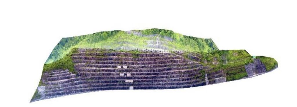
Slope Monitoring
Geologic hazards like slope failure must be identified quickly in order to maintain safety. Our professionals correctly identify the slope of the ground’s surface utilizing the Digital Terrain Model (DTM) and Digital Surface Model during the slope monitoring procedure of GIS mapping (DSM). Slope monitoring, landslide mitigation, and slope collapse prevention require this information in addition to the LIDAR survey data. An additional useful technique used by experts to monitor the Earth’s motion and aid in the prediction and averting such catastrophe is aerial survey mapping.
Urban Planing
Drones are now widely used in urban planning thanks to incredible advances in drone technology. Due to AI processing and machine learning, we can quickly and affordably collect large amounts of data through drone surveying. In order to plan and assess the current social and environmental situations at the sites, we have fervently donated our expertise to several private builders and governmental organizations. High-resolution aerial data, LIDAR surveys, and other important information were all obtained using cutting-edge drone technology, which is a prized contributor to our success.
Industries benefiting
Mining , Infrastructure, Highways & Roads, Agriculture, Renewable Energy, etc.