Services
Services
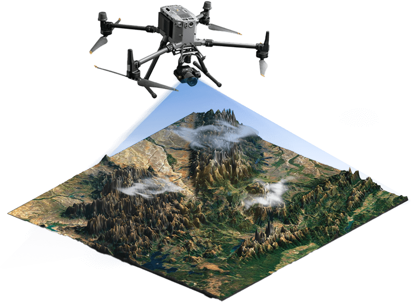
Drone Services

Aerial Surveying and Mapping
Aerial surveying and mapping services to provide accurate 2D maps and 3D models you can rely on to plan and monitor the execution of your projects in a cost-and-time effective manner.
- Photogrammetry Missions
- 3D Visualization
- 2D Maps
- Ground Penetrating Radar Surveys

LiDAR Scan Missions
Aerial surveying using LiDAR technology to create topographic maps and Laser Pointcloud models in superior accuracy.
- UAV Based LiDAR Scan PointCloud Visualization
- High-Precision Topographic Mapping
- 3D Modelling
- Stockpile and Volumetric Assessment
- 3D Vegetation Modelling
Aerial Monitoring & Surveillance
Aerial Monitoring & Surveillance keep an eye on your areas of interest by continuously and repetitively monitoring the assets, stockpiles, crops or property perimeter exactly when needed.
- Construction Site Progress Monitoring
- Stockpile and Asset Management
- Perimeter Surveillance
- Crops Management
- Aerial Photo/Video Coverage for Outdoor Events

Specialized Aerial Inspections
Up close and specialized industrial aerial inspections to make informed decisions in different kinds of utility structures, infrastructure, power generation, and oil & gas rigs reduces costs, saves time and keeps personnel safe
- Power Plants & Power Grid Inspections
- Oil & Gas Pipes and Tanks Inspections
- Utility Towers Inspection
- Bridge Inspections
- Facade Inspections
- Methane Gas Leakage Detection

Fleet Management System
Command, control and monitor all your drones with a centralized UAV Fleet Management System enabling autonomous and AI driven drone response across a wide range of public and private entities’ applications.
- UAV Fleet Management and Control System
- Drone Show Choreography System
- Remote and Autonomous UAV Operations
- Incident Response and Report Missions
- Live Video Streaming
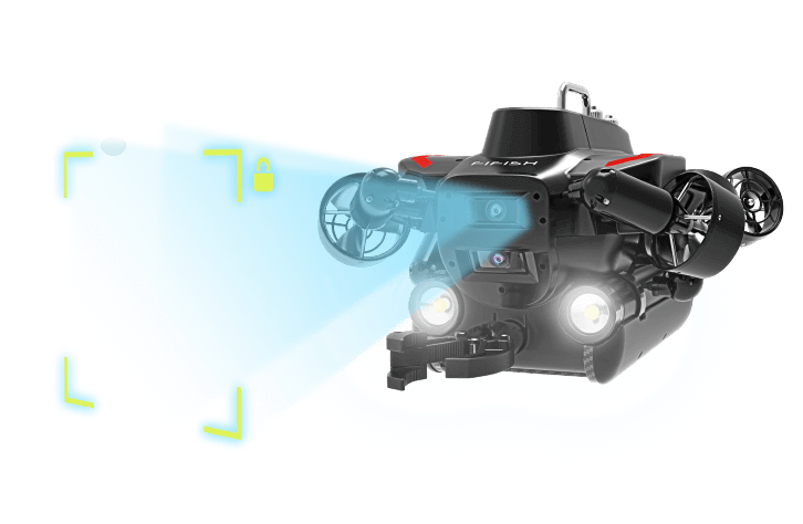
ROV Services

Surveillance and Reconnaissance
Utilizing high-resolution cameras for monitoring maritime borders or coastlines. Using sensor devices for monitoring the marine environment and identifying environmental changes.
- Real-time data on marine health.
- Detects pollution and environmental changes.
- Accesses hard-to-reach underwater areas.
- Real-time video of maritime borders and coastlines.

Deep Sea and Soil Exploration
Using underwater robots for examining and digging soil.
Utilizing sensor devices for analyzing soil composition and evaluating its characteristics.
- Examine and dig soil in underwater environments.
- Ideal for marine construction and research.
- Operates in deep or hazardous conditions.
- Analyzes soil composition in real-time.
Material Lifting and Carrying
Lifting and transporting materials from one place to another using arms. Pulling ropes from one place to another.
- Efficiently lift and move materials in challenging environments.
- Ideal for construction and offshore operations.
- Quickly pull ropes across distances.
- Supports various lifting and transportation tasks.
Ready to Elevate Your Operations?
From precision aerial surveying & LiDAR mapping to real-time monitoring and specialized inspections, our drone services are designed to deliver faster, safer, and more accurate results — whether you’re in construction, energy, infrastructure, or public safety.