.png)
Acerca de
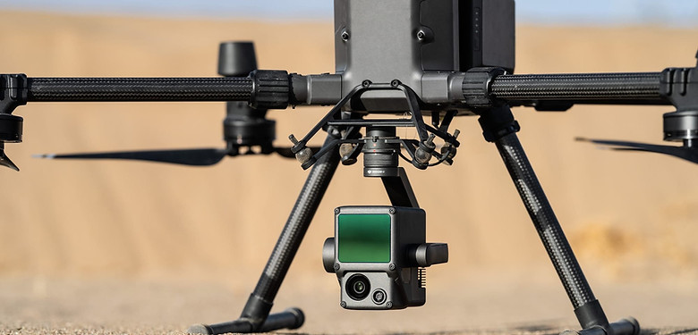
LiDAR Scan Mission
"Light Detection and Ranging" or "Laser imaging, Detection, and Ranging" are both abbreviations for LiDAR. Sometimes, LiDAR is referred to as 3D laser scanning. The most accurate and detailed approach for making digital elevation models right now is airborne LiDAR.
LiDAR will supplement (and occasionally replace) conventional photogrammetry techniques in the mapping process. The capacity of LiDAR to see through vegetation that obscures the ground is a significant benefit. With several returns from each laser pulse, in addition to penetrating the ground, it is also possible to map the plants above the ground in three dimensions.

LiDAR Application
Due to their built-in PPK (Post-Processed Kinematics) feature, LiDARs can gather precise data regardless of the lighting conditions, and these data may be promptly analyzed after collection. LiDARs may also take measurements of the actual ground through vegetation. LiDARs also make it possible to more accurately and in greater detail portray complex things like trees and power pylons than 3D data that has been created using a photogrammetry technique.
Aerial LiDARs are useful for a variety of uses, including corridor mapping, mining and quarry management, forestry, civil engineering, environmental monitoring (such as coastal erosion), archaeology, etc., thanks to all these benefits.

Future
The fact that LiDAR data produces uncolored images on the RGB scale can make it challenging for human eyes to read, even if the data can be loaded easily into any GIS software. In order to take use of the benefits of both approaches and obtain extremely accurate data with RGB color information, the tendency is to integrate point clouds gathered from LiDAR with photogrammetry.
For complex projects, this provides a complete depiction of the world, including the textures and both the dimensions.